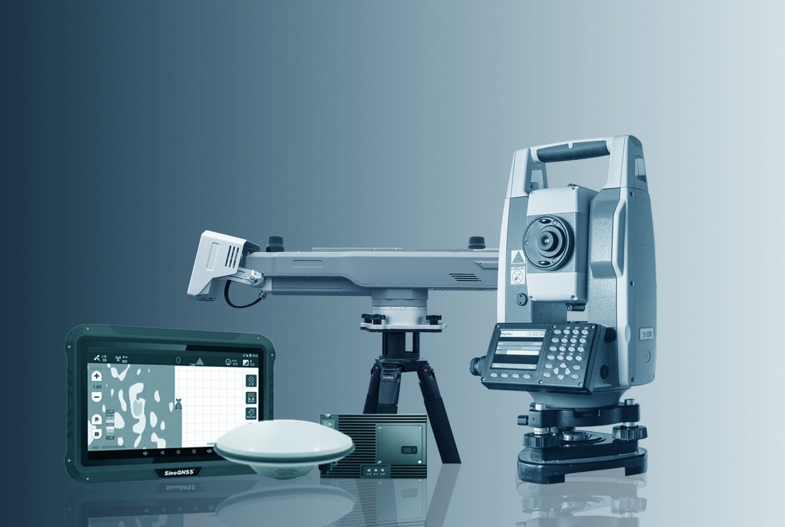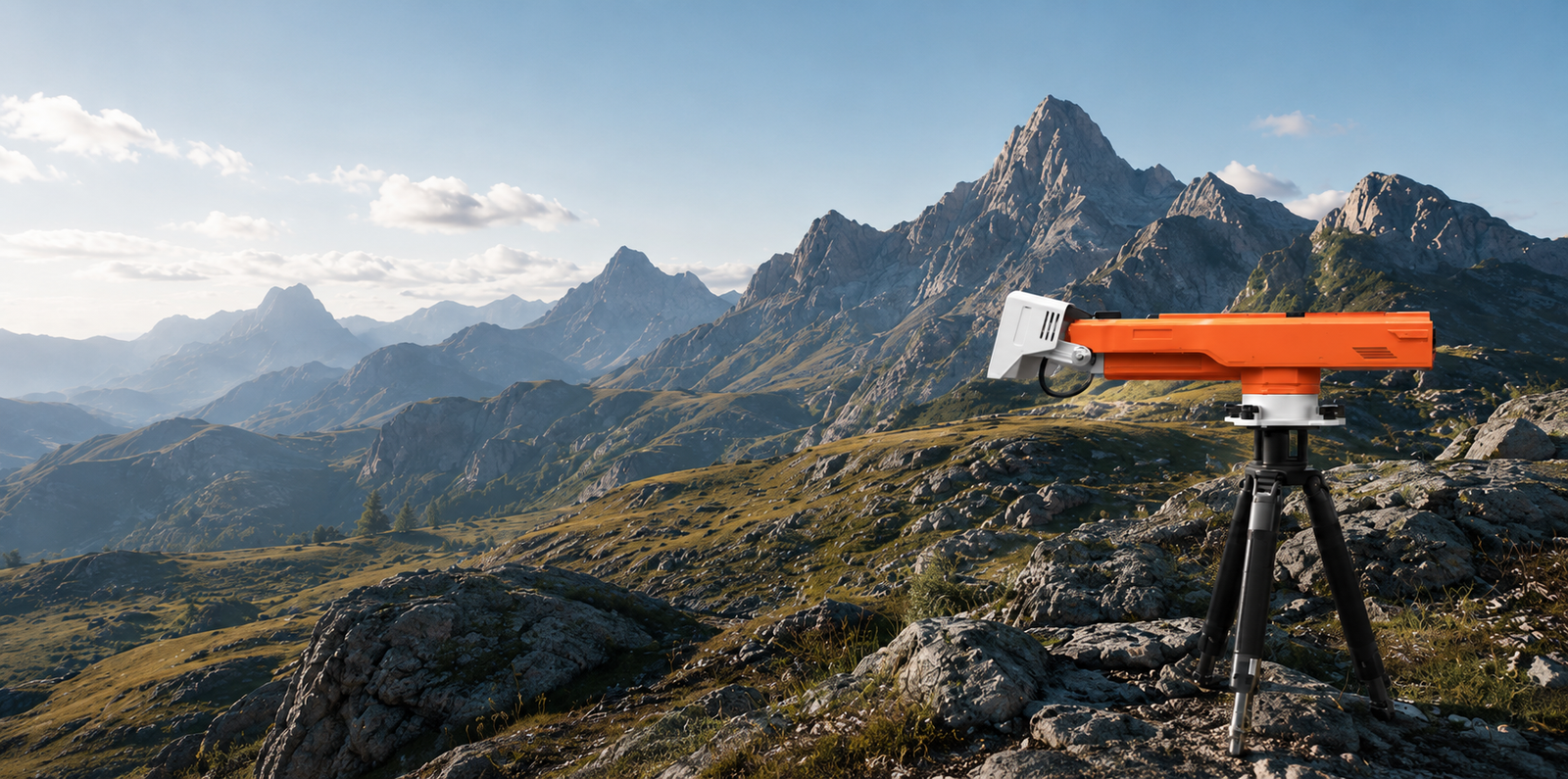
MS-SAR5000
REAL-TIME SLOPE
STABILITY INTELLIGENCE
Millimeter-precision deformation monitoring for mines, infrastructure, and critical assets.
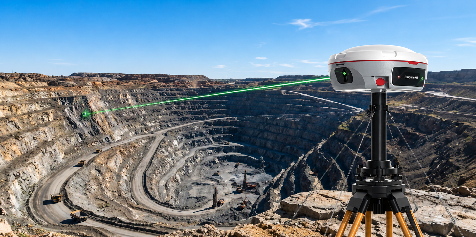
MARS PRO LASER RTK
SURVEY BEYOND LIMITS
An ultra-reliable GNSS receiver with millimeter-level laser measurement, engineered to capture precise data in hard-to-reach, signal-obstructed, and hazardous environments.
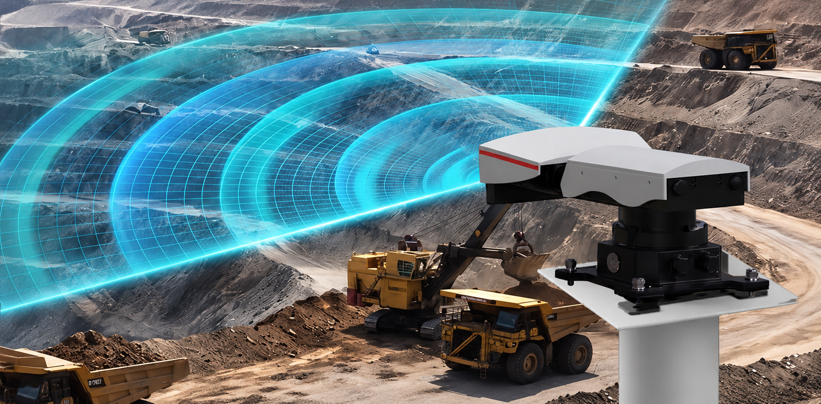
MS-SAR1000
UNIVERSAL SLOPE
MONITORING RADAR
24/7 SAR monitoring with 360° sub-millimeter deformation detection.
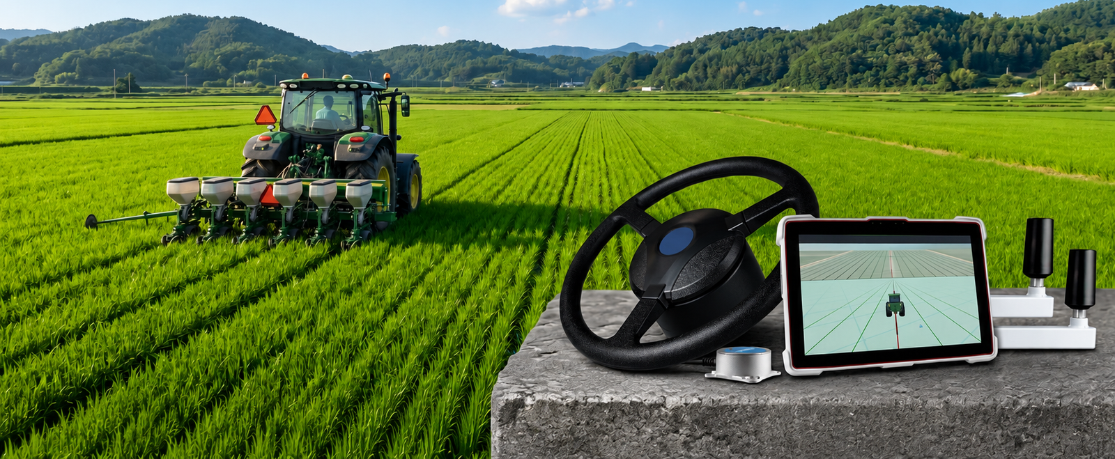
G360PRO GNSS AUTOMATED STEERING SYSTEM
PRECISION FARMING MADE EFFORTLESS
Easily retrofit tractors and agricultural vehicles with centimeter-level automated steering for improved accuracy, efficiency, and productivity.
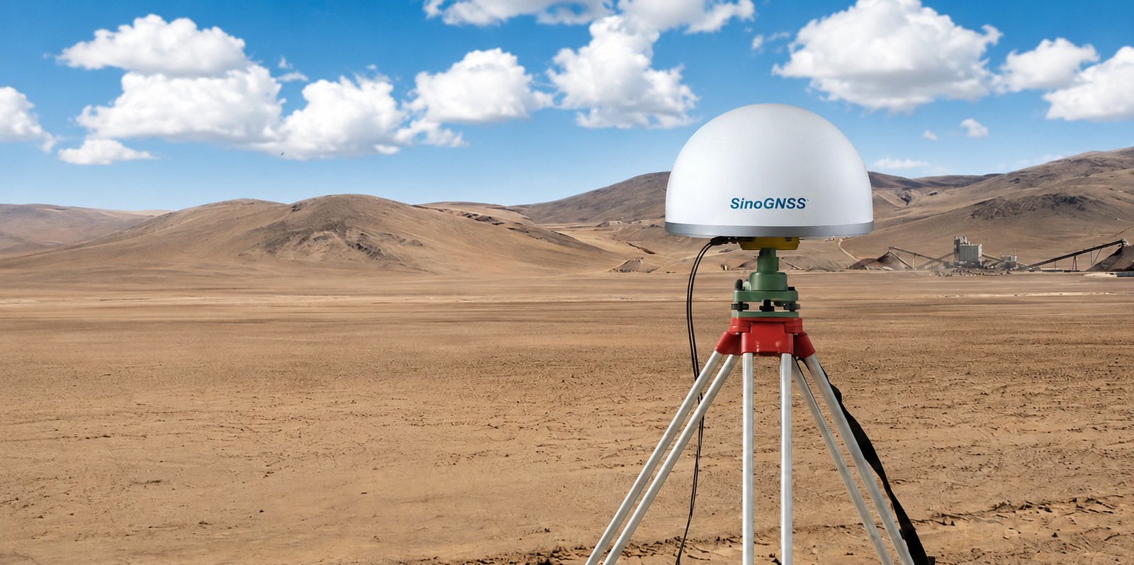
AT600 CHOKE RING ANTENNA
PRECISION SIGNALS
TRUSTED ACCURACY.
High-gain, high-accuracy GNSS antenna delivering reliable full-constellation tracking for surveying, geodesy, and monitoring applications
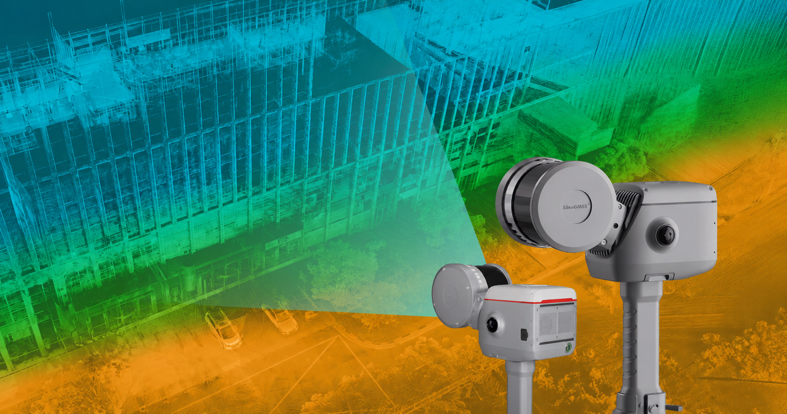
LS600 LASER SCANNER
NEXT-GENERATION 3D
REALITY CAPTURE
Combining advanced SLAM technology, RTK positioning, and dual-camera color imaging to deliver fast, accurate, and immersive 3D mapping anywhere.
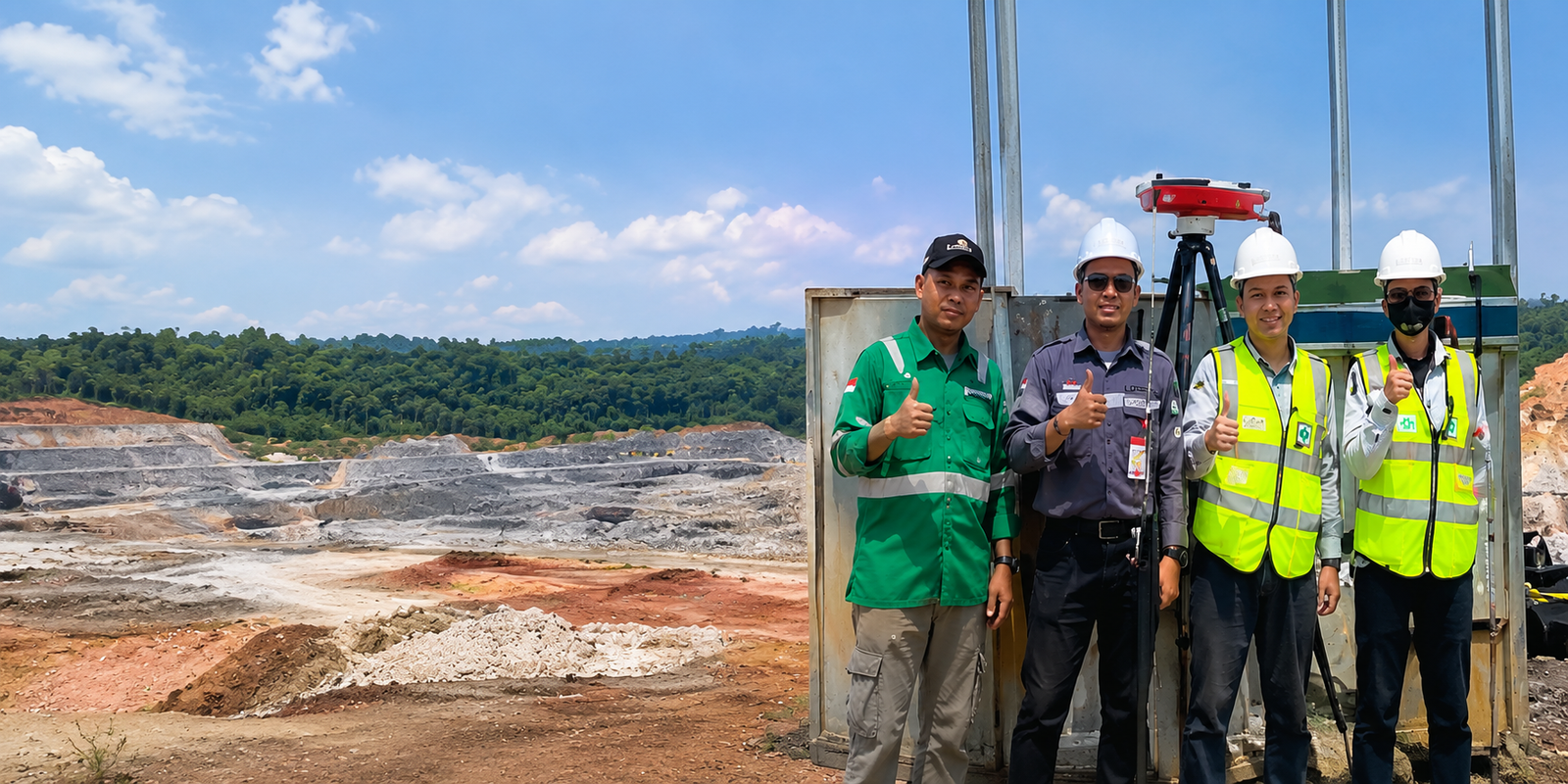
PT. Lextera Survey Indonesia
THE NEXT GENERATION SURVEY TECHNOLOGY
Is a national provider of surveying and geospatial solutions and the official distributor of ComNav Technology in Indonesia. We bring real innovation and hands-on technology application to the field - delivering accurate, reliable, and cost-effective solutions.
OUR PRODUCTS
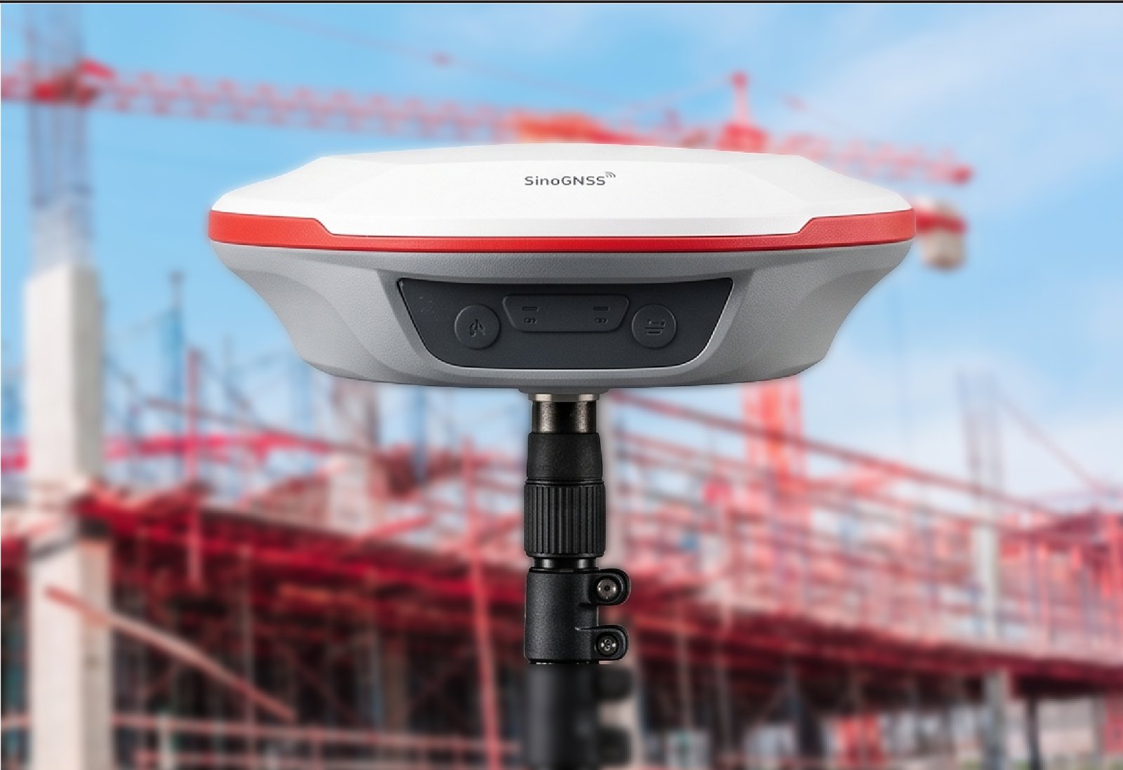
T20 PALM GNSS RECEIVER
The Ultra-Light GNSS Receiver built for Precision Surveying.
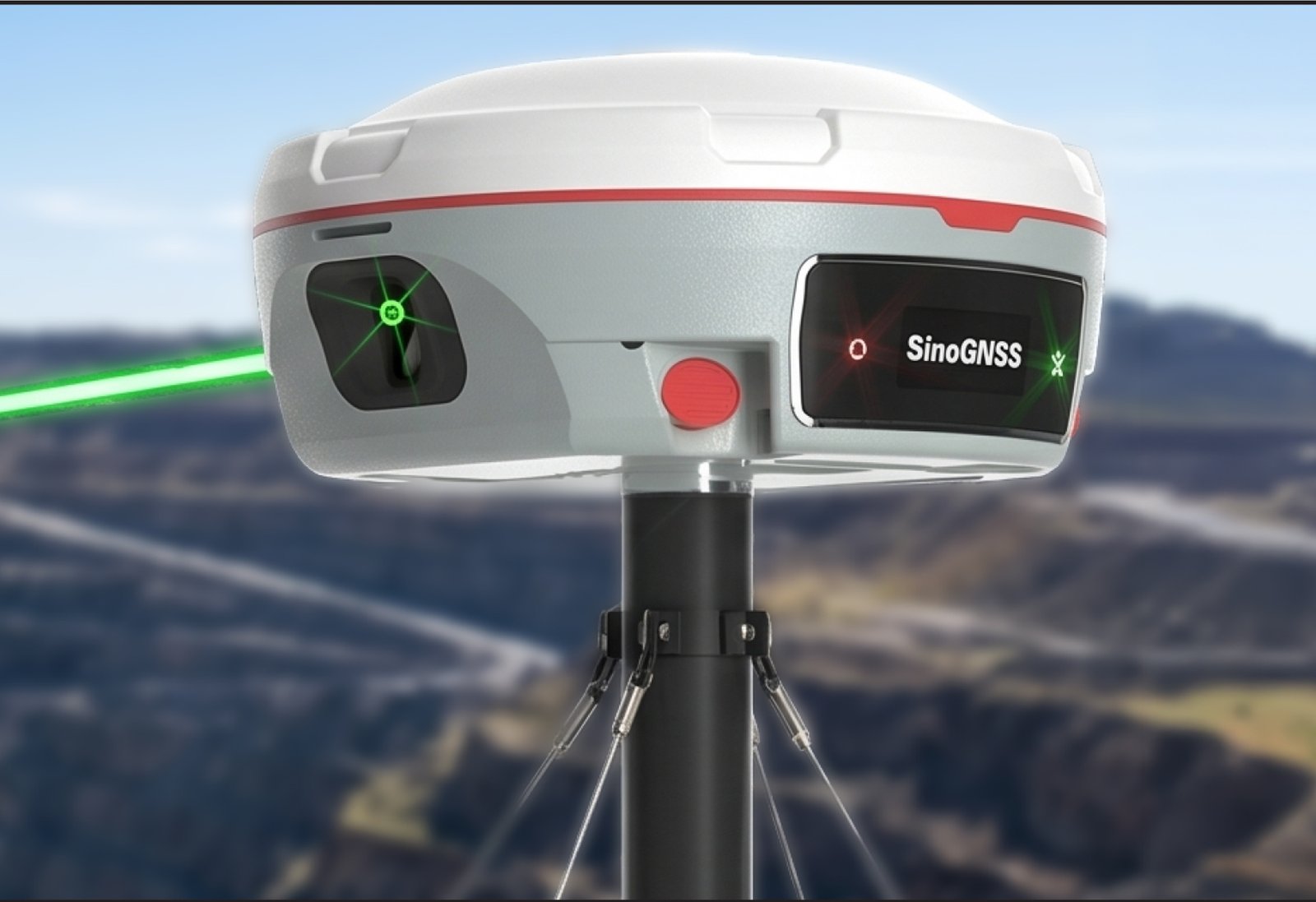
Mars Pro Laser RTK
Millimeter-Precision GNSS RTK.
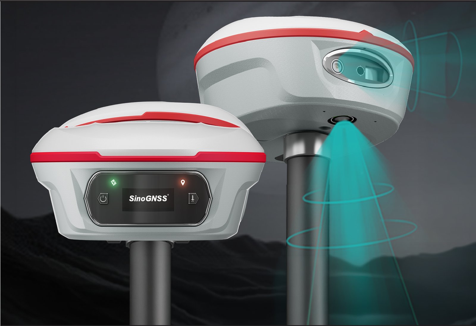
Jupiter Laser RTK
Advanced GNSS laser surveying RTK, built for challenging jobs, deliver...
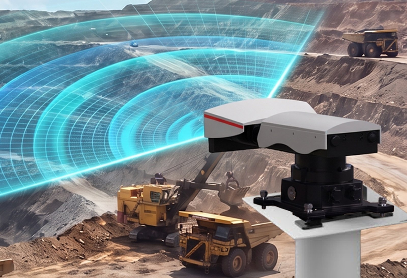
MS - SAR1000
The Premium Alderon Canopy is designed to provide maximum protection w...
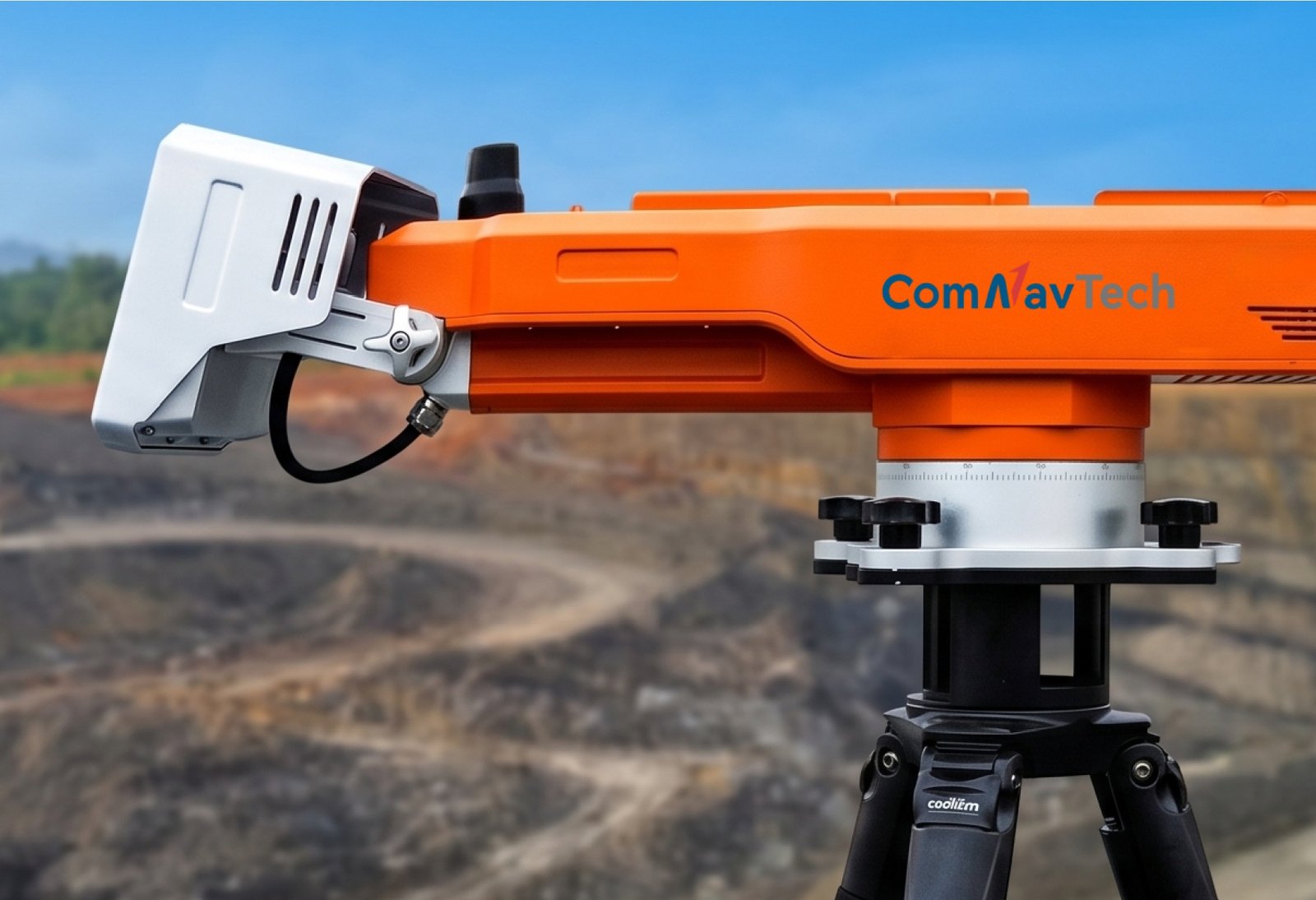
MS - SAR5000
Slope Stability Monitoring Radar./p>
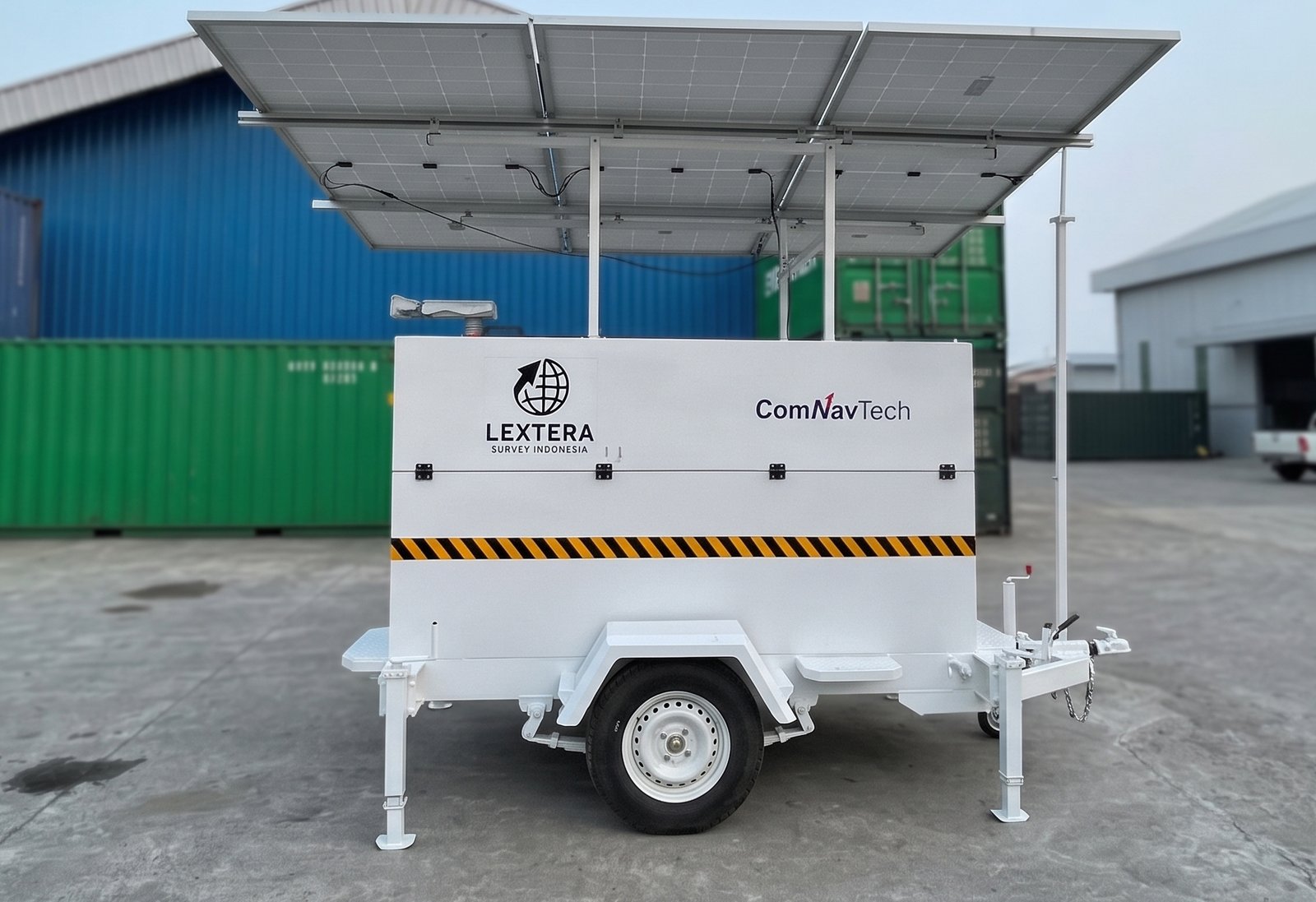
SMART TRAILER RADAR MS-SAR
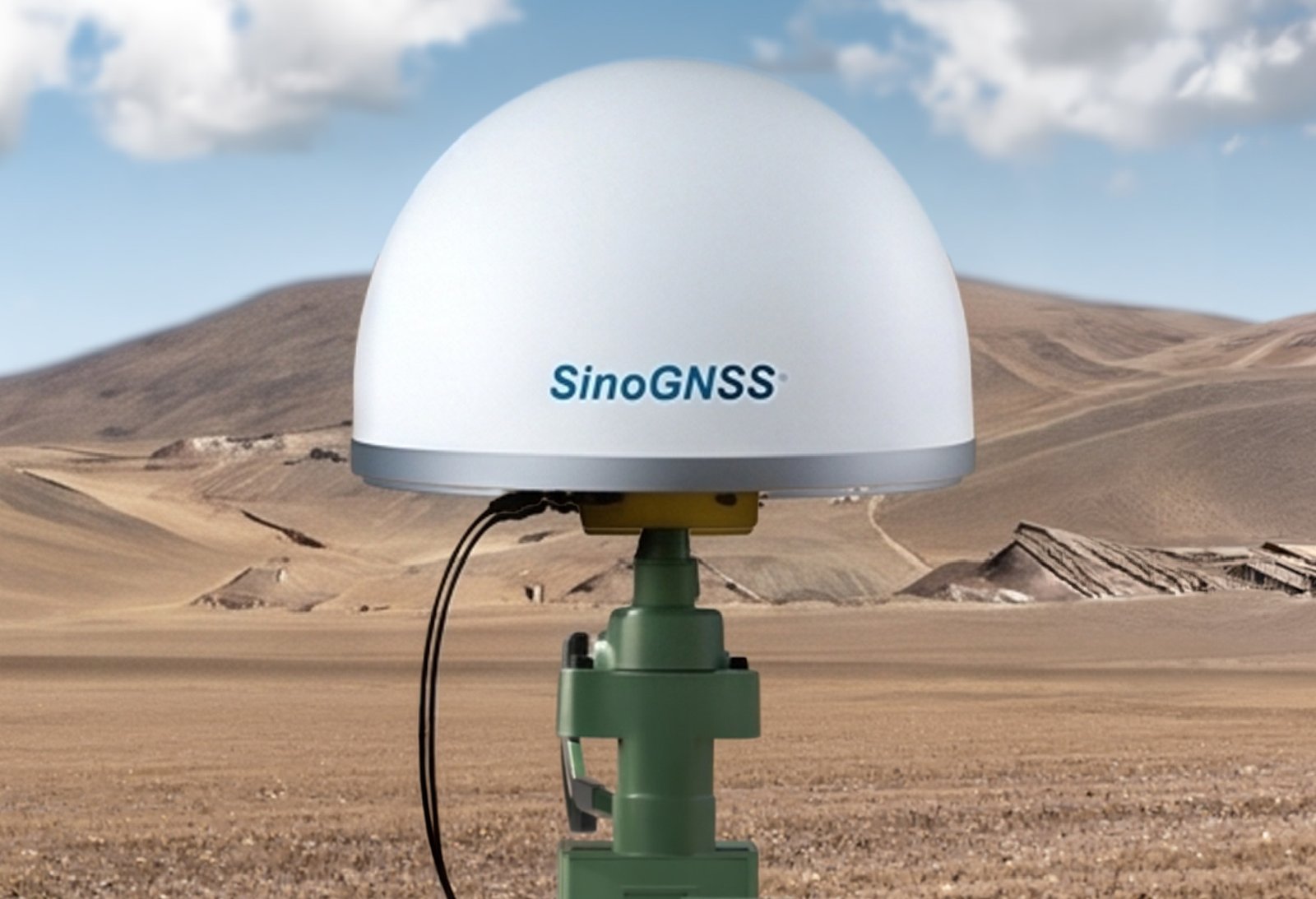
AT600 Choke Ring Antenna
Full-Constellation High-Precision GNSS
Why Lextera?
Equipment Sales & Distribution

Technical Support & After Sales Service

Calibration, Inspection & Instrument Certification

Consulting & Project Advisory

Rental & Leasing of Survey Equipment

Government & Institutional Project Support

Training & Knowledge Transfer

Survey, GIS & Mapping, Geospatial Data Solutions
Our Principal Partners and Clients



Our Management
IR. Rudhi Wibawa Nugraha
PRESIDENT DIRECTOR
Rudhi Wibawa Nugraha is a seasoned executive with over 33 years of experience in Indonesia’s automotive, heavy equipment, and mining industries. He spent 13 years in the heavy equipment sector as Director and General Manager of Commercial, building strong customer-focused operations and dealer excellence.


IR. Ades T. Soleh
OPERATIONAL DIRECTOR
A geodesy professional with over 30 years of experience in surveying, GIS,government land administration, and geospatial project management. He has held key roles with global brands including TOPCON, NIKON, and SOKKIA, and contributed to national land programs through government associations.
NEWS & HIGHLIGHTS
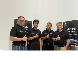
Big news! Lextera Survey Indonesia is officially opening a new branch in Malang!
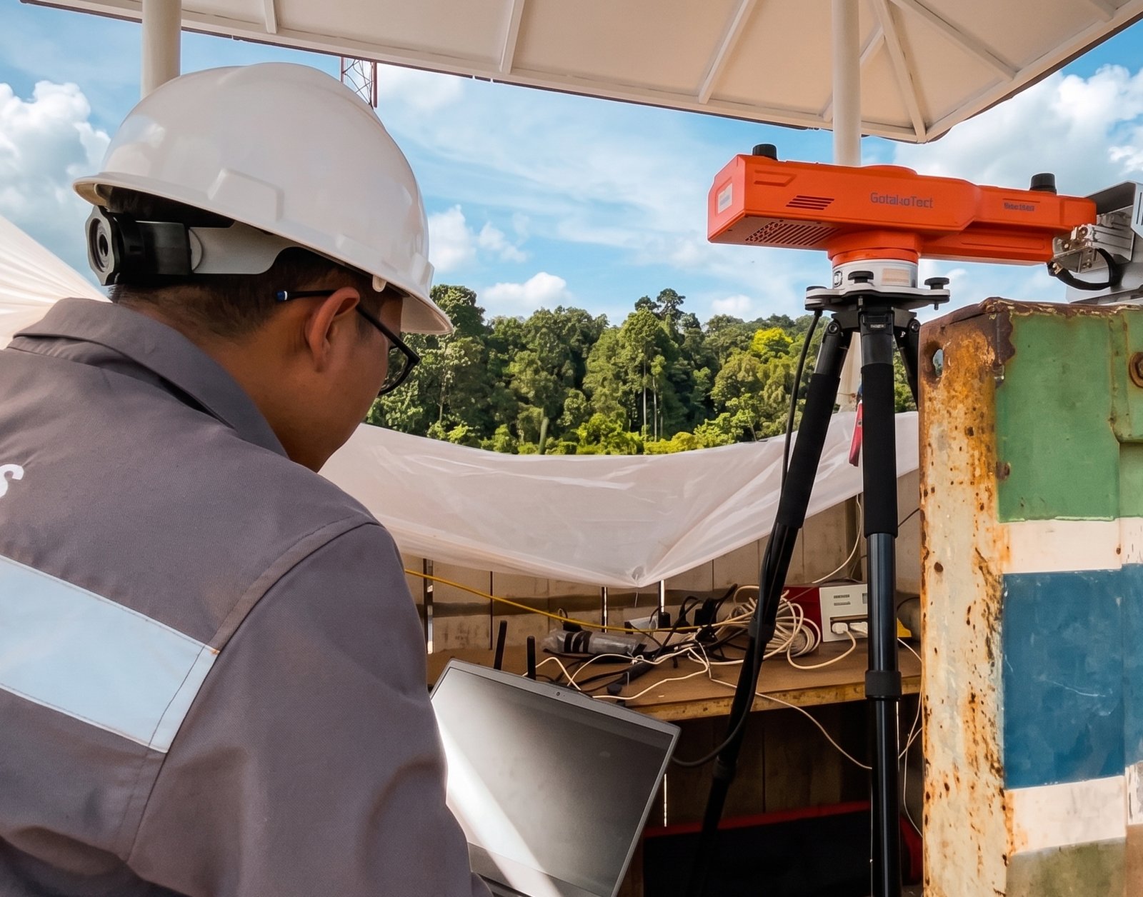
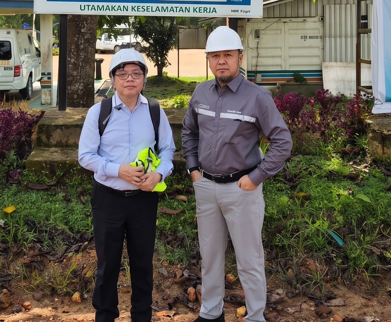
Operational Performance Test PT Insani Bara Perkasa Samarinda
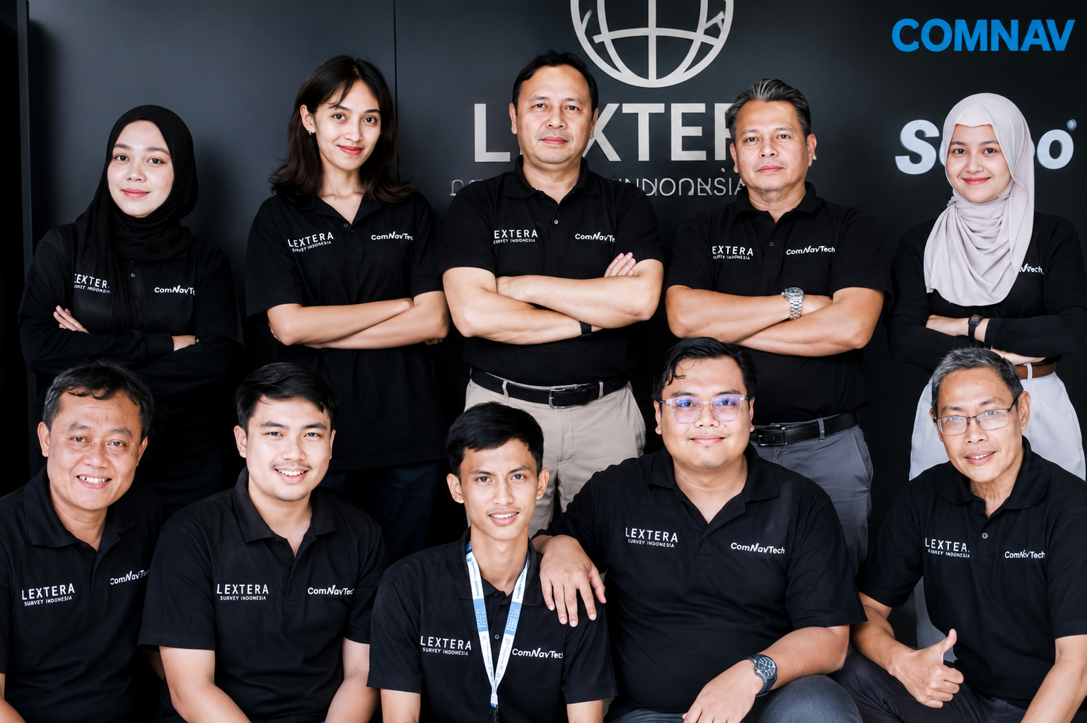
We empower the future of geospatial solutions with technology you can trust.
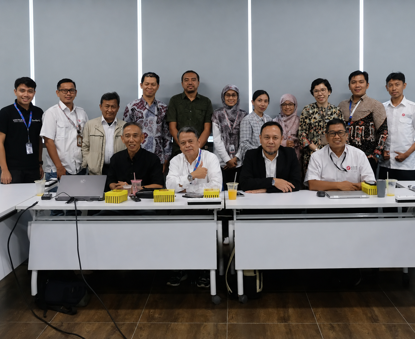
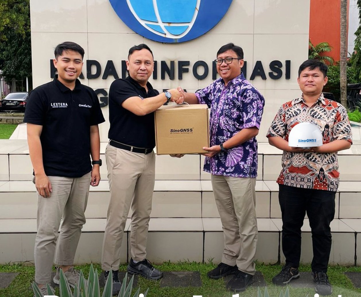
BRIN's Integrated Geological Platform.
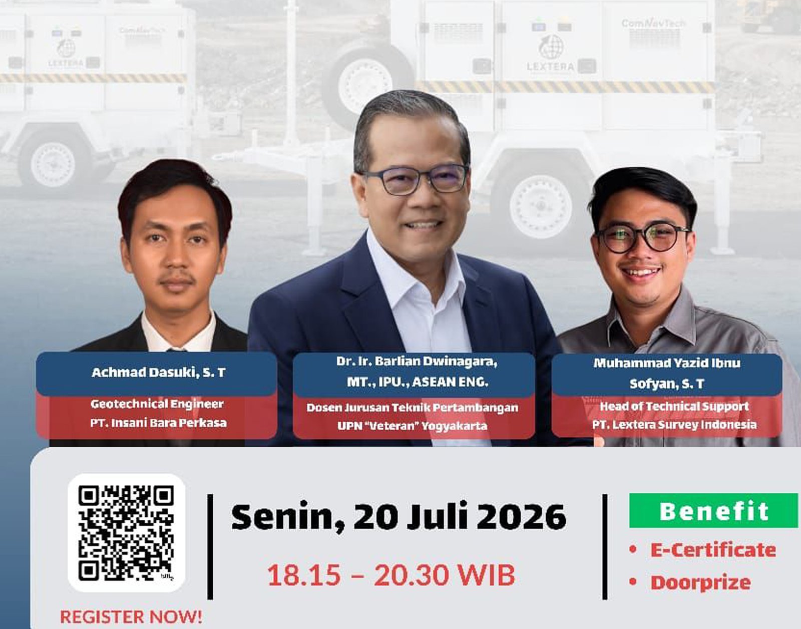
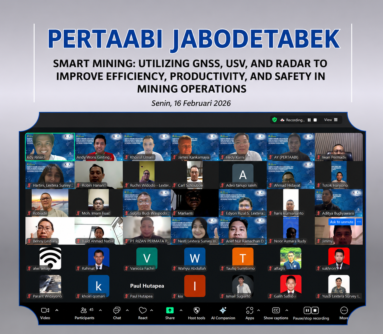
Free Webinar Slope Deformation in Mining
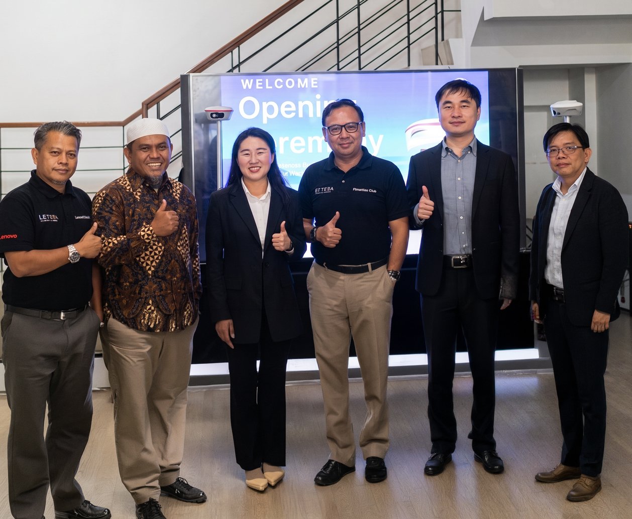
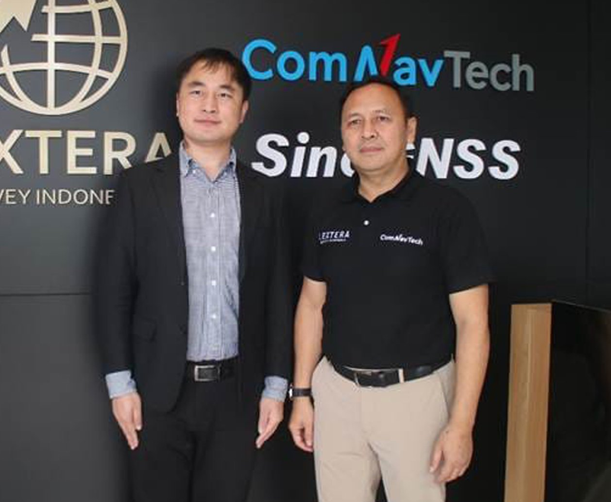
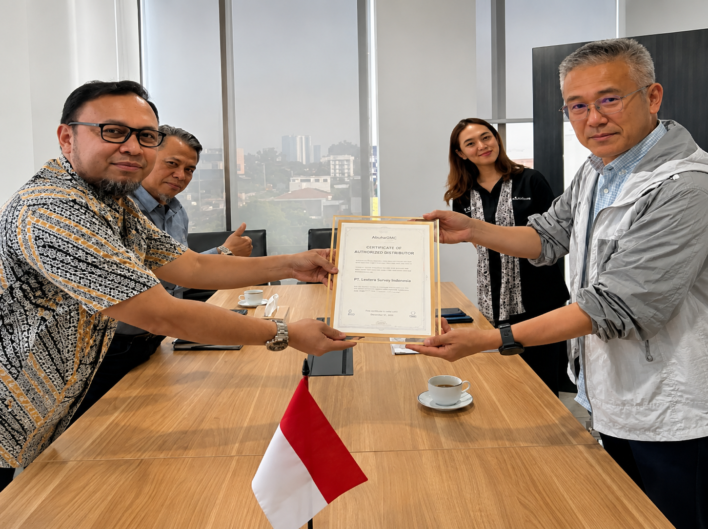
extera Survey Indonesia Officially Becomes ComNav Tech Distributor